Plane wreck
29.4181°N 34.9716°E · wreck
Plane Wreck is a small aircraft wreck dive site located in the Gulf of Aqaba near Aqaba/Eilat (at approximately 29.42°N, 34.97°E), not at Ras Muhammad as sometimes incorrectly stated. The wreck is a propeller aircraft of unverified type that rests on a sandy shelf at approximately 28–30 metres depth.
Overview
The aircraft is partially intact — the fuselage and recognisable structural elements are heavily encrusted with coral and sponge growth accumulated over decades of submersion. Soft corals and encrusting organisms have transformed the metal structure into an artificial reef supporting resident reef fish. The specific aircraft type and provenance have not been independently confirmed in available sources.
Site Information
- Location: Gulf of Aqaba, near Aqaba/Eilat (approximately 29.42°N, 34.97°E)
- Entry Type: Boat dive
- Site Type: Wreck dive
- Difficulty Level: Intermediate
- Maximum Depth: 30 meters
- Typical Visibility: 20-35 meters (65-115 feet)
- Current: Moderate; stronger at the Ras Muhammad tip
- Best Time: September to May
Marine Life
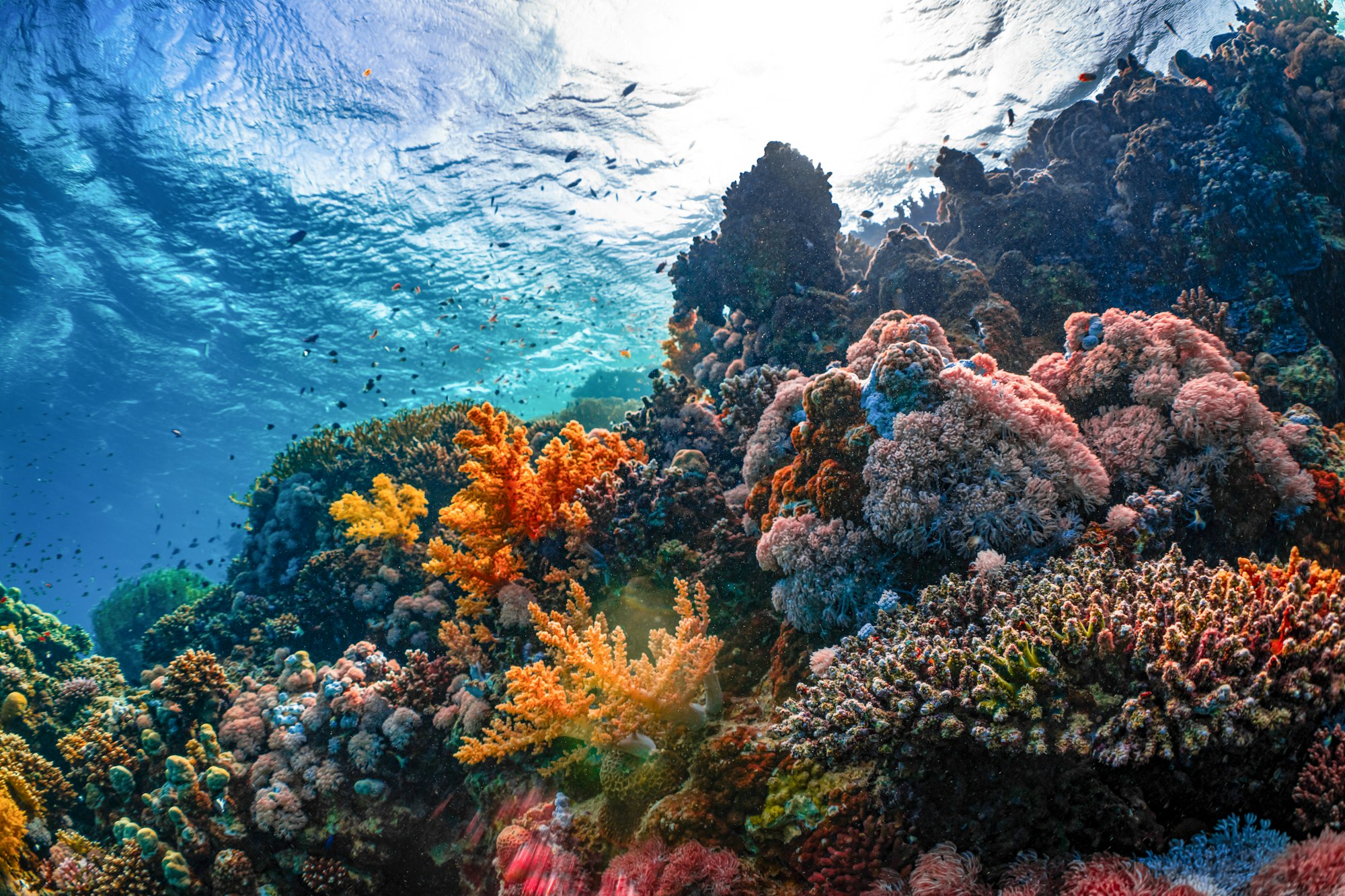
The wreck’s structure provides shelter for groupers, moray eels, and glassfish schools that swarm through the openings. Lionfish perch on the encrusted wings and fuselage sections. Barracuda often hover above the wreck in a stationary formation. The sand around the base of the wreck frequently holds bluespotted stingrays and small flatfish. Coral growth on the wreck itself includes hard and soft corals, with a diversity of encrusting organisms covering virtually every surface.
Dive Profile
Descend from the reef base down the sand slope to the wreck at 28-30 meters. Spend your bottom time examining the exterior — the wings, cockpit area, and fuselage provide interesting structural features. The wreck is not suitable for penetration due to its fragile state and siltation. Begin your ascent with adequate reserve for a slow rise back up the slope to the reef base and a safety stop at 5 meters.
Entry and Exit
Boat access from Sharm el-Sheikh operators, typically combined with Ras Muhammad reef dives. Giant stride entry with descent on the reef slope. Deploy SMB before your final ascent and safety stop for boat pickup coordination.
Tips and Recommendations
- This site is usually combined with a second dive on the Ras Muhammad reef wall for a full day outing
- The 30-meter depth means bottom time is limited — plan your air consumption carefully
- Bring a torch to illuminate the encrusted interior surfaces and the underside of the wings
- Approach slowly to avoid disturbing silt around the structure
Safety Considerations
The maximum depth of 30 meters reduces no-decompression bottom time significantly — monitor your dive computer throughout. Avoid entering the wreck structure as it is unstable and prone to silt disturbance that causes rapid visibility loss. Plan your ascent to include adequate reserve air for a proper safety stop. Confirm with your guide whether the site is accessible given current conditions at the point.
Photography
The encrusted aircraft structure provides unique photographic subjects unlike standard reef photography. Wide-angle shots showing the wing span or fuselage silhouette with reef fish and blue water in the background are striking. Detail shots of the encrusting corals and sponges reveal the transformation of the metal into a reef ecosystem. Torch-lit interior details through openings in the fuselage make atmospheric images.
Sea-surface temperature and wave height from Open-Meteo Marine (ERA5 reanalysis, monthly averages).
30640 verified species observations (80 species) logged within ~11 km of this site between 1999 and 2019, from the Ocean Biodiversity Information System.
- Siganus rivulatus · marbled spinefoot
- Grampus griseus · Risso's dolphin
- Alectrias benjamini
- Scorpaenopsis cirrosa
- Parapercis hexophtalma
- Rhopalaea idoneta
- Coxiella
- Tridacna maxima
- Columbellidae
- Berthellina citrina
- Acropora eurystoma
- Acropora digitifera
Scientific survey records skew toward sampled taxa (molluscs, corals) and do not reflect what you are guaranteed to see on a dive.
Source: OBIS (obis.org), aggregated Darwin Core occurrence records.
Conditions change with the tide and the season. If you have dived this site, share what it was actually like — date, visibility, current, and what you saw. Real, recent reports from divers are exactly what this guide is built to collect.
Send a conditions report ›