Turbo
24.0066°N 35.6340°E · wreck
Turbo
An Advanced-rated wreck dive in the St. John’s area at 30 metres — a submerged vessel in the southern Egyptian Red Sea whose steel structure is now extensively colonised by hard and soft corals, creating a hybrid reef-wreck environment in pristine offshore conditions.
Overview
Turbo is a wreck site at approximately 24.01°N, 35.63°E in the St. John’s Reef area of the southern Egyptian Red Sea — at the southern edge of the day-trip range from Marsa Alam and comfortably within liveaboard territory. The Advanced rating reflects the 30-metre maximum depth. Note: the OSM record also lists an alternate name “Atlas” for this wreck. The vessel’s identity is unconfirmed — if this is the SS Turbo (a 117-metre, 4,782 GRT vessel lost in 1942), the documented wreck location is approximately 130 km north near Ras Banas, which would indicate a coordinate discrepancy; this has not been resolved from independent sources. Until identity is confirmed, no claims about vessel size, origin, or history are made. At this depth and with the clear water characteristic of the St. John’s area, the combination of wreck structure and live coral creates photographic and diving opportunities distinct from either a pure reef or a recently-sunk vessel.
Site Information
- Location: St. John’s Reef area, southern Egyptian Red Sea (~24.01°N, 35.63°E)
- Entry Type: Boat dive
- Site Type: Wreck dive
- Difficulty Level: Advanced
- Maximum Depth: 30 meters
- Typical Visibility: 20–30 meters
- Current: Mild to moderate; assess before entry
- Best Time: October to May
Marine Life
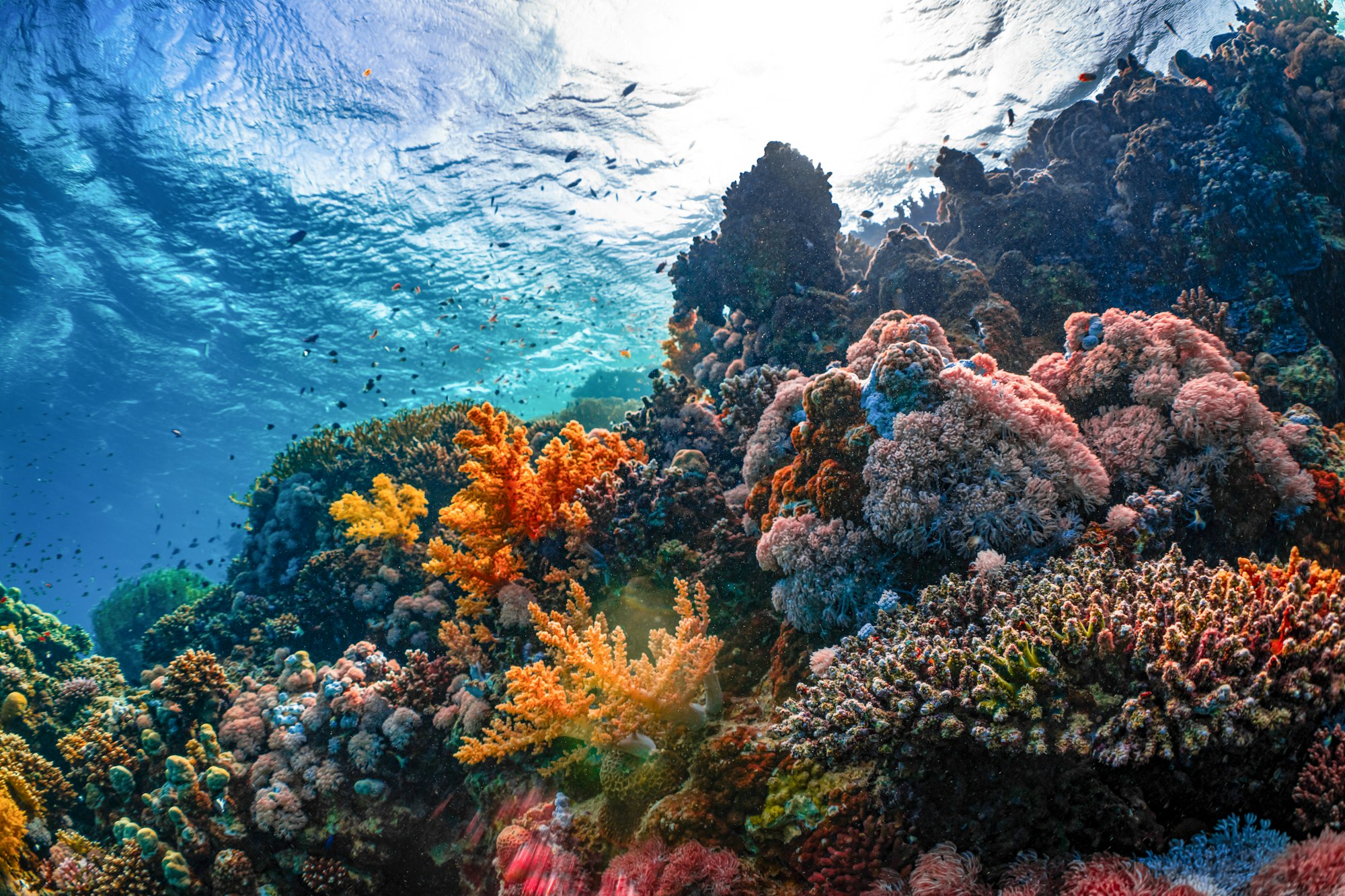
The wreck’s steel superstructure is covered with soft coral and hard coral colonisation — gorgonian fans have established on the higher sections and soft coral patches cover the lower hull areas. Schools of glassfish and snapper occupy the sheltered interior spaces accessible through open deck sections. Moray eels inhabit the corroded cavities throughout the hull. Groupers are resident in the sheltered sections of the wreck. The sandy floor adjacent to the wreck holds blue-spotted stingrays. Grey reef sharks have been sighted on the deeper sections of the wreck site.
Dive Profile
Descend directly to the deepest section of the wreck at 28–30 metres. Spend the initial portion of the dive at maximum depth, observing the colonised hull and any resident sharks. Ascend through the wreck structure, examining the glassfish schools and coral growth at 20–25 metres. Continue the multi-level ascent to the shallowest sections of the wreck at 15–18 metres. Safety stop at 5 metres in the open water adjacent to the wreck.
Entry and Exit
Liveaboard or extended day-boat from Marsa Alam (80+ minutes). Advanced Open Water certification required. Giant stride entry from the tender. Careful air management required at 30 metres. SMB deployment mandatory before ascending.
Tips and Recommendations
- Plan the dive as a strict multi-level profile: maximum time at 30 metres is limited — plan to spend 10–12 minutes before beginning the ascent
- Carry a torch for the hull interior sections — the glassfish schools are best photographed with torch backlighting
- Do not attempt penetration without overhead-environment training
- The colonised hull in 25+ metres visibility with natural light is an extraordinary photographic subject — ensure the camera is ready before descent
Safety Considerations
The 30-metre depth requires strict no-decompression limit management — Advanced certification and familiarity with dive computer use is essential. Begin ascent when the dive computer indicates or at 70 bar, whichever comes first. Do not enter enclosed sections of the hull without cave/overhead training. No decompression diving without a dedicated stage bottle and dive team support.
Photography
The coral-colonised hull at 25–30 metres in clear St. John’s area water provides outstanding wide-angle wreck portrait conditions. The contrast between the steel structure and extensive coral growth creates images that read as both wreck and reef simultaneously. Glassfish schools in accessible interior spaces — photographed with torch backlighting through open deck sections — are dramatic subjects. A wide-angle setup is optimal throughout the dive.
Vessel identity unconfirmed. OSM records alt_name “Atlas”. If the SS Turbo (4,782 GRT, 117m, lost 1942), the confirmed wreck location is ~130km north near Ras Banas — coordinate discrepancy unresolved. No site-specific dive sources found. Last updated 2026-06-27.
Sea-surface temperature and wave height from Open-Meteo Marine (ERA5 reanalysis, monthly averages).
11 verified species observations (8 species) logged within ~11 km of this site between 1994 and 2011, from the Ocean Biodiversity Information System.
- Tursiops truncatus · Common bottlenose dolphin
- Doridida
- Dendrodoris nigra
- Sebadoris fragilis
- Vasticardium marerubrum
- Gymnodoris subflava
- Pleurehdera stellata
- Discodoris
Scientific survey records skew toward sampled taxa (molluscs, corals) and do not reflect what you are guaranteed to see on a dive.
Source: OBIS (obis.org), aggregated Darwin Core occurrence records.
Conditions change with the tide and the season. If you have dived this site, share what it was actually like — date, visibility, current, and what you saw. Real, recent reports from divers are exactly what this guide is built to collect.
Send a conditions report ›