Mairie II
18.0657°S 140.9740°W · wreck
Mairie II is a shallow wreck dive site in the Tuamotu Archipelago, French Polynesia. The Mairie II — a small inter-island supply vessel — sank in November 1989 and now rests on the sandy atoll floor, where it has become an established artificial reef.
Overview
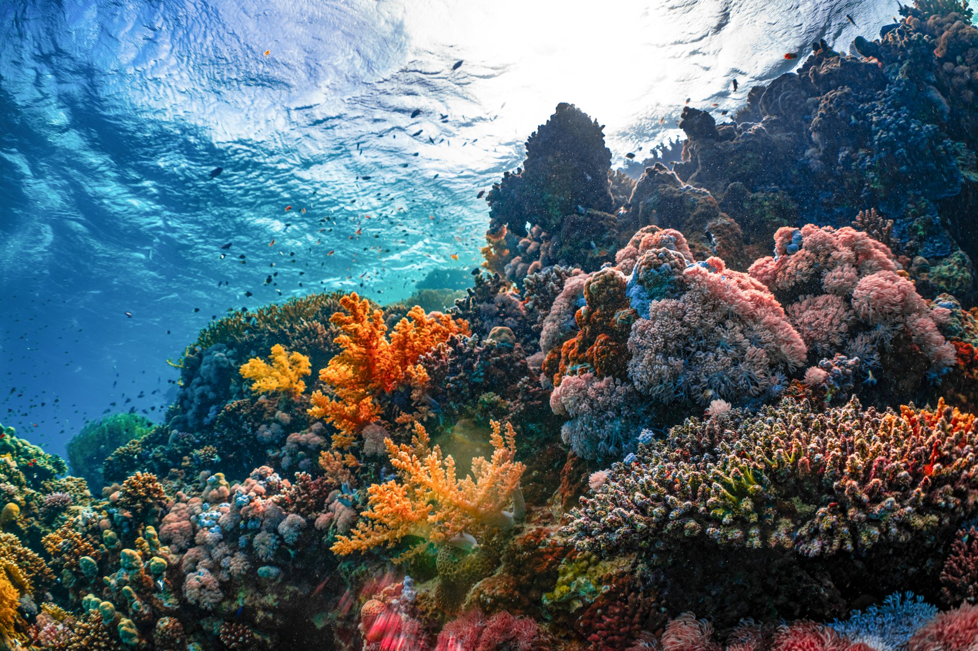
The Mairie II lies at approximately 17 metres on a sand and coral rubble bottom within an atoll lagoon in the Tuamotu Archipelago — the most remote and least-dived region of French Polynesia. The vessel, a typical inter-island freighter of the kind that sustained remote Polynesian communities, sank in 1989 and has been submerged for over three decades, allowing substantial coral and sponge growth across its hull and superstructure. The wreck is well intact, with the hull, wheelhouse, and deck equipment recognisable. The sheltered atoll setting produces excellent visibility of 25–35 metres and calm conditions, with water temperatures averaging 27–28°C.
What to Expect
The OSM data for this wreck (sourced from local records) notes the vessel arrived at dock during strong westerly winds around 15:00, was forced against the quay while beginning to unload, suffered a breach, and was subsequently towed to its current resting position and sunk — an account consistent with an accidental sinking at a Tuamotu atoll. The wreck rests at 17 m maximum depth with 3 m clearance above the hull. No independent dive site descriptions for the Mairie II were located in publicly available sources. Based on general characteristics of similar shallow wreck sites in the Tuamotu lagoon environment: coral and sponge growth would be expected after 35+ years of submersion, the sheltered atoll setting typically produces excellent visibility, and the remote location means marine life is less disturbed. No specific marine life claims are made for this site beyond what is documented in the OSM record.
Conditions
- Best season: Year-round; April–November optimal for access
- Visibility: 25–35 m typical in atoll lagoon
- Current: Mild; atoll lagoon setting
- Water temperature: 27–28°C
- Entry: Boat dive; remote atoll — accessible by liveaboard or inter-island flight
Tips
The Tuamotu Archipelago is most efficiently explored by liveaboard — land-based accommodation on most atolls is limited to very basic guesthouses. A torch is useful for the wheelhouse and hold interiors. The remote setting means self-sufficiency in dive equipment is important; spare parts and fills are limited outside of Rangiroa and Fakarava.
Sources: Tahiti Tourisme - Wreck Diving, OpenStreetMap Node 10164697267, Scuba Diving Magazine - Tuamotu Islands. Last updated 2026-05-30.
Sea-surface temperature and wave height from Open-Meteo Marine (ERA5 reanalysis, monthly averages).
482 verified species observations (215 species) logged within ~11 km of this site between 1899 and 2013, from the Ocean Biodiversity Information System.
- Sula sula · Red-footed booby
- Gygis alba microrhyncha
- Anous
- Naso lituratus
- Chlorurus sordidus
- Dascyllus flavicaudus
- Chaetodon ulietensis
- Aulostomus chinensis
- Cephalopholis argus
- Parupeneus multifasciatus
- Centropyge flavissima
- Chaetodon citrinellus
Scientific survey records skew toward sampled taxa (molluscs, corals) and do not reflect what you are guaranteed to see on a dive.
Source: OBIS (obis.org), aggregated Darwin Core occurrence records.
Conditions change with the tide and the season. If you have dived this site, share what it was actually like — date, visibility, current, and what you saw. Real, recent reports from divers are exactly what this guide is built to collect.
Send a conditions report ›