Devil s Backbone
25.5770°N 76.6869°W · wreck
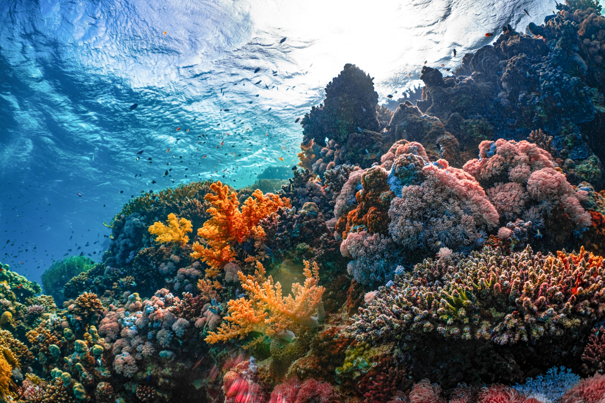
The Devil’s Backbone is a shallow, jagged reef extending across the northern tip of Eleuthera island — a site as notorious for wrecking ships as it is celebrated for the dive sites those wrecks have created.
Overview
Stretching approximately 1.4 miles northeast of Spanish Wells at the north end of Eleuthera, the Devil’s Backbone has been documented as a navigational hazard since 1648. More ships have wrecked here than on any other reef in the Bahamas. The result is a remarkable collection of shallow wrecks layered atop one another in 8-11 meters of water, all now heavily colonised by coral and sponge and hosting abundant marine life. The reef itself is an intricate system of coral heads, archways, and channels. The surf here is rarely calm, making the site effectively boat-access only despite the shallow depths.
Notable Wrecks
- The Cienfuegos (wrecked 1895): A 292-foot American steam passenger ship operated by the Ward Line — launched in 1883 from Chester, Pennsylvania. She measured 2,332 tons (iron hull, six watertight compartments) and, under Captain B. F. Hoyt Jr., ran aground near the far edge of Ridley Head, approximately 5 miles north of Harbour Island, during a strong northwest gale with heavy seas and hazy conditions. Two independent sources give slightly different dates for the wrecking — 4 February and 5 February 1895 — so both are noted here rather than picking one. All passengers and crew survived (one lifeboat capsized, but local Eleuthera residents rescued everyone aboard); part of her rice cargo was salvaged. Now flattened in roughly 3–10 metres of water; the bow, steam engine, boiler, two giant heat exchangers, and main driveshaft remain identifiable, with a ballast pile roughly 200 yards to the east. The wreck resembles an underwater junkyard at this point, spread across the reef.
- The Carnarvon (wrecked 1916): A 186-foot steel-hulled Welsh freighter that serviced lighthouses in the Bahamas for the British Admiralty. Ran aground on a shallow coral head in 1916. Sits in roughly 5–8 metres of water on the southern edge of the Backbone, northeast of Preacher’s Cave beach. Sources give the depth of the steering quadrant’s top as either 2–3 metres or about 8 feet (2.4 metres) below the surface — consistent readings once converted, so this is treated as confirmed rather than conflicting. The steam engine and driveshaft are remarkably intact for a wreck over a century old, and divers can swim through part of the boiler.
- The Train Wreck (wrecked 1865): A barge carrying a steam locomotive and rail cars — Confederate-era railway equipment reportedly arranged for shipment in 1865 to a Cuban sugar plantation — which struck the reef near Ridley Head in a violent storm. Lies in roughly 3–5 metres of water. Remaining artifacts include locomotive wheels, three-wheel trucks, boiler plate, wooden beams, brass spikes, coal, and ballast stones.
- The Vanaheim (wrecked February 1969): An 86-foot coastal freighter whose cargo of potatoes and onions gave the site its informal name “Potato and Onion Wreck.” Grounded during a storm in roughly 3–5 metres (10–15 feet) of water in the shallows near the Cienfuegos — notably, her metal rudder came to rest only about 5 feet from the Cienfuegos’s bow, indicating both vessels struck the reef at essentially the same spot, 74 years apart.
Site Information
- Location: North Eleuthera, Bahamas (near Spanish Wells and Preacher’s Cave)
- Entry Type: Boat dive
- Site Type: Wreck dive
- Maximum Depth: 8 meters
- Typical Visibility: 5-6 meters (conditions can be variable due to surge and sand disturbance)
- Current: Light to moderate
- Best Time: November to May (calmer conditions)
Marine Life
Ocean Fox Bahamas, a Harbour Island operator that runs guided trips to this specific site, confirms snapper, grunts, parrotfish, angelfish, sharks (including nurse sharks), stingrays, Nassau grouper, moray eels, and brain coral formations at Devil’s Backbone. Barracuda, elkhorn coral, and star coral — present in the prior version of this page — are plausible for this reef type but were not specifically confirmed by any site-specific source found during this audit; they are retained here as general Bahamian shallow-reef composition rather than confirmed site-specific sightings.
Dive Profile
The entire site sits within recreational depth limits, making it suitable for newly certified divers. Begin on the shallower sections and move between wrecks. The Train Wreck at 5 meters makes an ideal end to the dive during the safety stop zone. Multiple dive profiles are possible — the wrecks are spread across the reef and require several dives to cover fully.
Entry and Exit
Boat dive. Ocean Fox Dive Shop on Harbour Island and other local operators offer guided wreck tours. The reef requires local knowledge to navigate safely due to its shallow, complex structure.
Tips and Recommendations
- The Carnarvon wreck is particularly photogenic — wide-angle shots of the engine room work well
- The Train Wreck wheels and axles are unique subjects — found nowhere else in the Bahamas
- Book multiple dives to cover the spread of wrecks; a single dive will not do the site justice
- Check weather conditions — even moderate Atlantic swell makes the site difficult
Safety Considerations
Boat traffic in the area can be significant — always use a dive flag. The shallow depths create surge in any swell. Sand and silt in the wreck structures reduce visibility when disturbed; maintain good buoyancy. The reef is fragile — do not penetrate unguided wreck interiors.
Sources: Ocean Fox Bahamas - Devil’s Backbone, Project Eleuthera - Underwater Sites, The Tribune Bahamas - 200 Years of Wrecks Across the North Central Bahamas. Last updated 2026-07-17. All four wreck accounts (Cienfuegos, Carnarvon, Train Wreck, Vanaheim) were independently cross-checked against both Project Eleuthera and The Tribune.
Sea-surface temperature and wave height from Open-Meteo Marine (ERA5 reanalysis, monthly averages).
279 verified species observations (178 species) logged within ~11 km of this site between 1949 and 2009, from the Ocean Biodiversity Information System.
- Tursiops truncatus · Common bottlenose dolphin
- Syngnathidae
- Ocyurus chrysurus
- Pterois · lionfish
- Cephalopholis fulva
- Acanthurus bahianus
- Lutjanus analis
- Calamus bajonado
- Halichoeres radiatus
- Tylosurus crocodilus
- Sparisoma chrysopterum
- Uropterygius macularius
Scientific survey records skew toward sampled taxa (molluscs, corals) and do not reflect what you are guaranteed to see on a dive.
Source: OBIS (obis.org), aggregated Darwin Core occurrence records.
Conditions change with the tide and the season. If you have dived this site, share what it was actually like — date, visibility, current, and what you saw. Real, recent reports from divers are exactly what this guide is built to collect.
Send a conditions report ›