Wreck Bay
15.9822°S 145.8370°E · wreck
Wreck Bay is a wreck dive site on the eastern side of Agincourt Reef No. 3, approximately 65km east of Port Douglas on the outer Great Barrier Reef, Queensland, Australia.
Overview
Wreck Bay takes its name from the remains of a Taiwanese fishing vessel that ran aground on the outer edge of Agincourt Reef and sank to the seafloor. The vessel has been colonised by coral and marine life over the decades since it sank, becoming an artificial reef structure. The visible wreckage is limited — the main diving interest is the reef topography around the wreck: caves, gutters, ledges, and bommies that have developed in the bay area.
The site can only be dived in calm conditions due to its exposed outer reef position. Depths range from 10 to approximately 22 metres. The combination of wreck remains and the surrounding reef makes this a diverse dive that offers both historical interest and open reef exploration in a single site visit.
Site Information
- Location: Agincourt Reef No. 3, outer Great Barrier Reef, approximately 65km east of Port Douglas, Queensland, Australia
- Entry Type: Boat dive
- Site Type: Wreck dive
- Difficulty Level: Intermediate
- Maximum Depth: 22 meters
- Typical Visibility: 15–25 metres
- Current: Variable; calm conditions required
- Best Time: August to November (calm weather window)
Marine Life
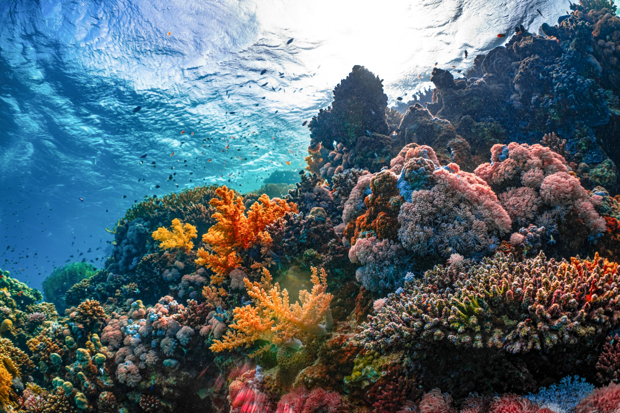
The site supports a good range of outer GBR species. Fusiliers, clownfish, sweetlips, and green turtles are regularly seen around the bay. The reef structures — caves, ledges, and bommies surrounding the wreck remains — provide habitat for moray eels and smaller reef fish. The wreck material itself has accumulated encrusting growth, but the real interest is in exploring the natural reef formations that make up most of the site. Reef sharks patrol the outer margins.
Dive Profile
Begin in the shallower sections at 10–12 metres, exploring the ledges and gutters, then work deeper to 18–22 metres to see the more substantial reef formations and remaining wreck material. The site rewards methodical exploration of the caves and overhangs rather than a single circuit. Ascend via the shallower reef formations for the safety stop.
Entry and Exit
Boat access from Port Douglas. The site is only dived in calm conditions — operators will advise on suitability on the day. Descent to the reef by shot line or free descent. Exit via SMB with boat pickup.
Tips and Recommendations
- The intermediate rating reflects the need for careful buoyancy around the wreck — touching the corroded hull or disturbing the silt inside can rapidly reduce visibility
- Do not enter enclosed spaces without appropriate training and equipment
- The combined wreck-plus-reef nature of the dive rewards divers who explore both sections — the contrast between the artificial and natural reef structures is interesting
- Carry a torch to illuminate the wreck interiors and see the lionfish and moray eels properly
Safety Considerations
Wreck diving carries specific hazards: silt disturbance reducing visibility, sharp edges on corroded metal, and entanglement risk in loose cables or netting. Stay outside the wreck unless trained for wreck penetration. Maintain excellent buoyancy throughout. The intermediate difficulty reflects these additional considerations rather than extreme conditions.
Photography
Wrecks make compelling photographic subjects because the artificial structure provides a defined backdrop that open reef lacks. Shoot the hull at an angle to show the colonisation of soft corals and sponges. Frame the moray eels in their hull openings. The school of glassfish passing through an opening with light behind them is a classic wreck shot.
Sources: Tropical North Queensland - Wreck Bay Dive Site, The Fold - Wreck Bay Dive Site, Agincourt Reef Guide - Cairns Tours. Last updated 2026-05-30.
Sea-surface temperature and wave height from Open-Meteo Marine (ERA5 reanalysis, monthly averages).
9001 verified species observations (167 species) logged within ~11 km of this site between 1980 and 2019, from the Ocean Biodiversity Information System.
- Pycnochromis margaritifer
- Scarus niger
- Zebrasoma scopas
- Acanthochromis polyacanthus
- Acanthurus nigrofuscus
- Chaetodon melannotus
- Pomacentrus philippinus
- Plectroglyphidodon johnstonianus
- Plectroglyphidodon dickii
- Chromis ternatensis
- Chlorurus sordidus
- Scarus oviceps
Scientific survey records skew toward sampled taxa (molluscs, corals) and do not reflect what you are guaranteed to see on a dive.
Source: OBIS (obis.org), aggregated Darwin Core occurrence records.
Conditions change with the tide and the season. If you have dived this site, share what it was actually like — date, visibility, current, and what you saw. Real, recent reports from divers are exactly what this guide is built to collect.
Send a conditions report ›